SERVICES
Data Collection & Modeling
Get comprehensive data collection and accurate modeling capabilities from the diverse group of professionals who are a part of Johnson & Pace’s Data Collection and Modeling team.
Direct Contact
Precision You Can See. Results You Can Trust.
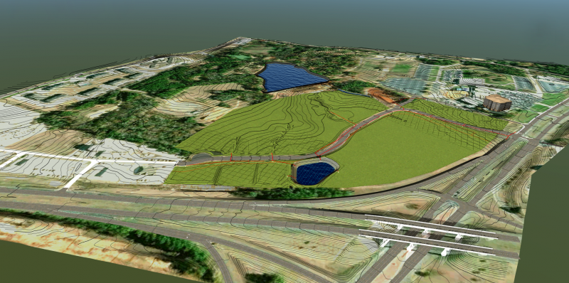
Johnson & Pace uses advanced laser 3D scanning technology (lidar), drone imaging, and 3D photorealistic rendering to deliver comprehensive measurement and documentation solutions. Our in-house team utilizes cutting-edge equipment to capture highly detailed three-dimensional models of complex environments.
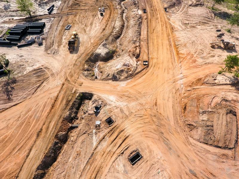
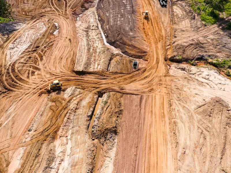
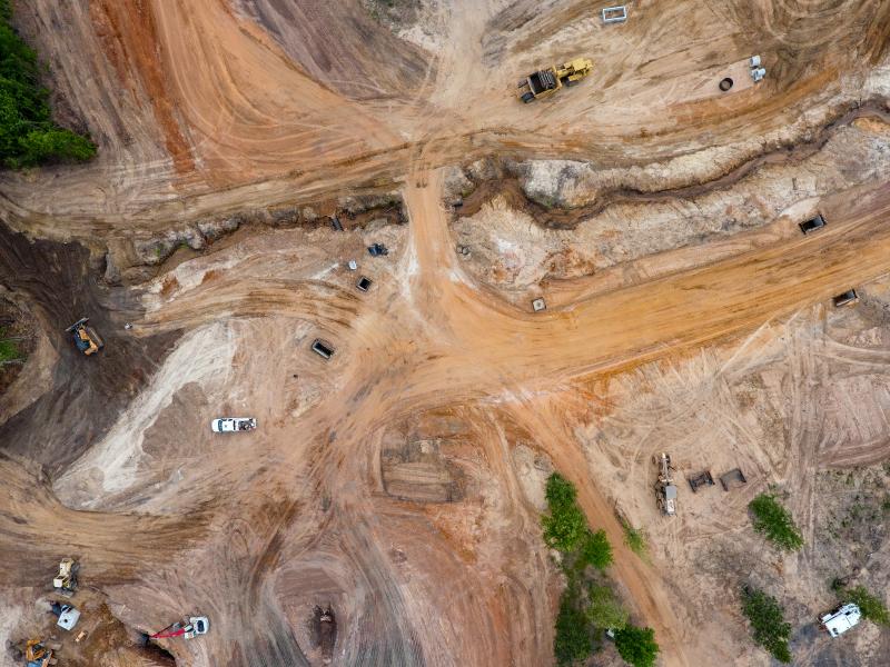
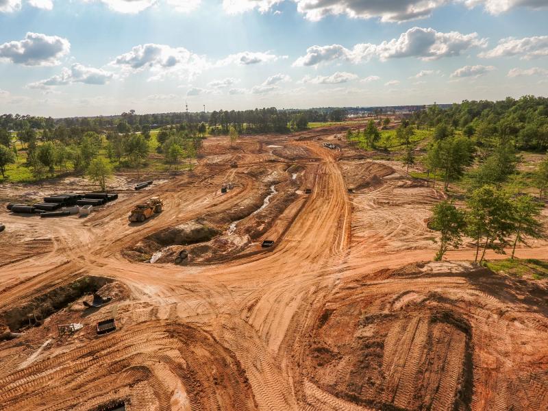
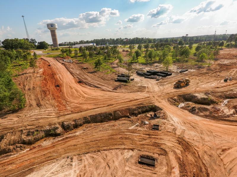
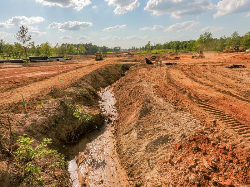
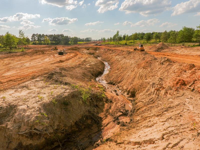
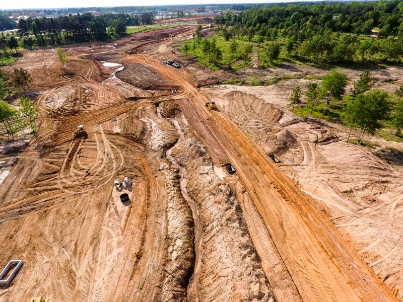
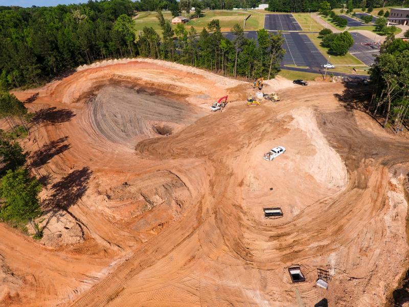
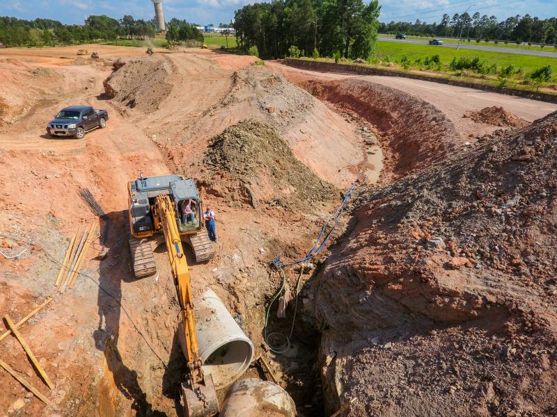
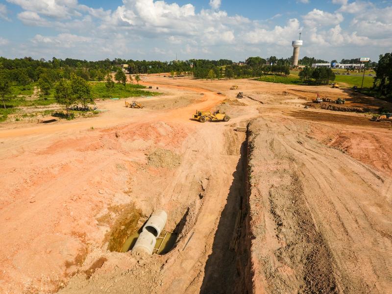
This integrated approach enables our professionals to provide accurate as-built documentation, precise structural component positioning, and detailed MEP system layouts. Our drone services include site inspections, construction progression monitoring, and marketing content for clients. Our professional post-production team meticulously refines all footage, photographs, and 3D renderings to deliver polished, presentation-ready deliverables that exceed expectations.
Available Services
- Drone Video
- Drone Photography
- LIDAR Scanning using Faro
- Focus Premium scanner and SCENE software
- Revit Modeling
- Photorealistic Rendering
- Post-Processing Rendered Images
- Post-Processing Drone Photography
- Post-Processing Drone Video
- Custom Artistically Designed Finished Product
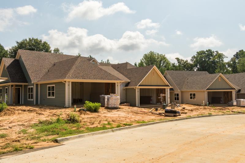
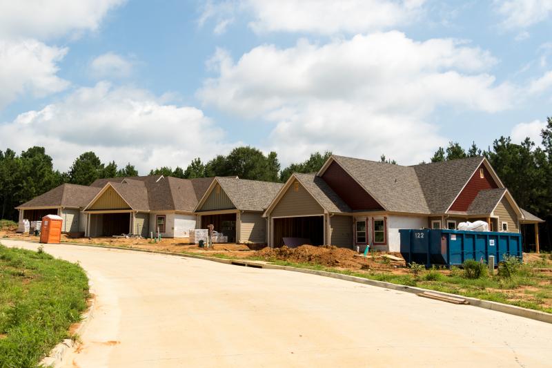
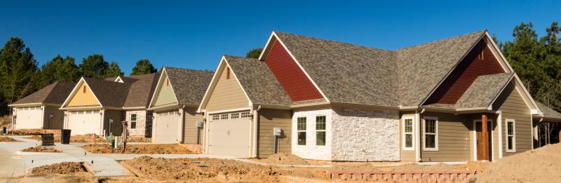
Data Collection & Modeling Gallery
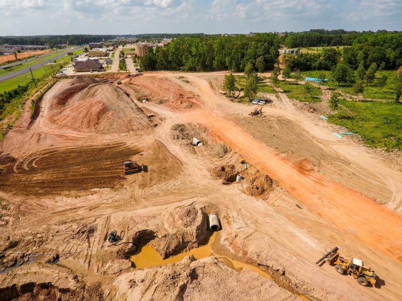
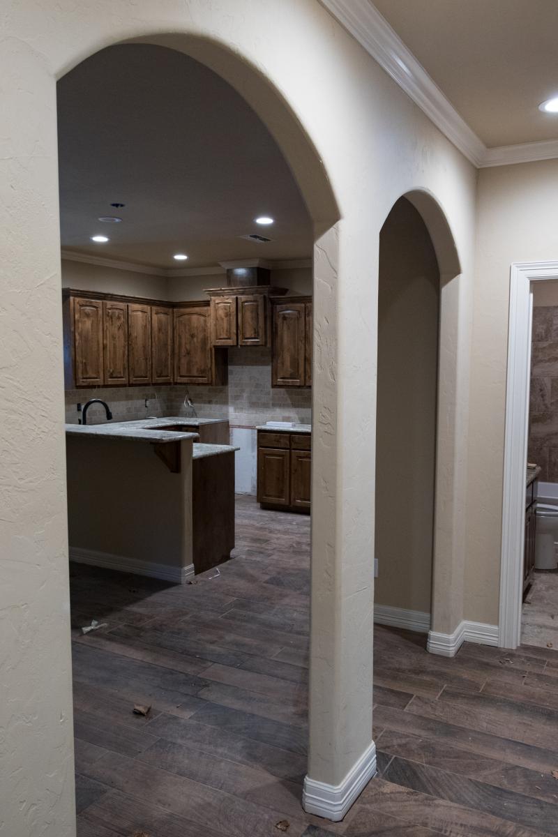
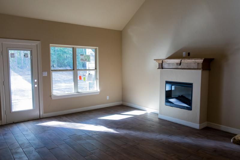
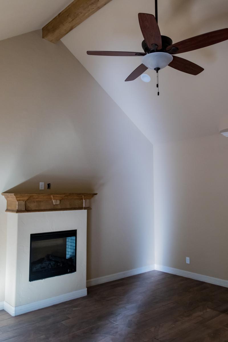
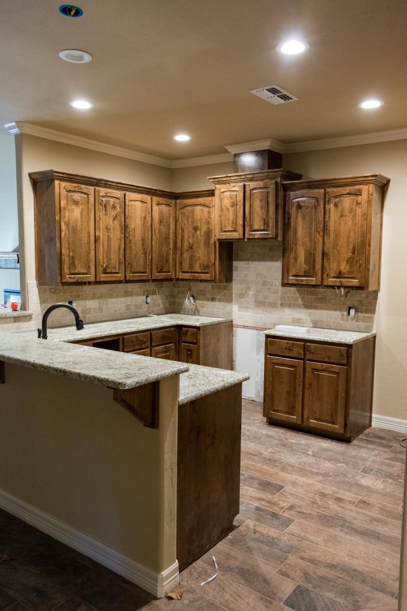
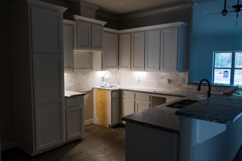
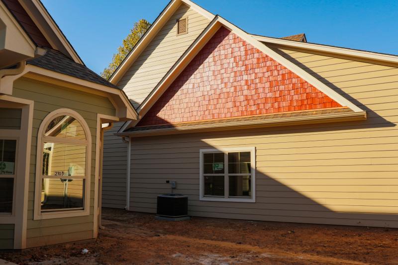
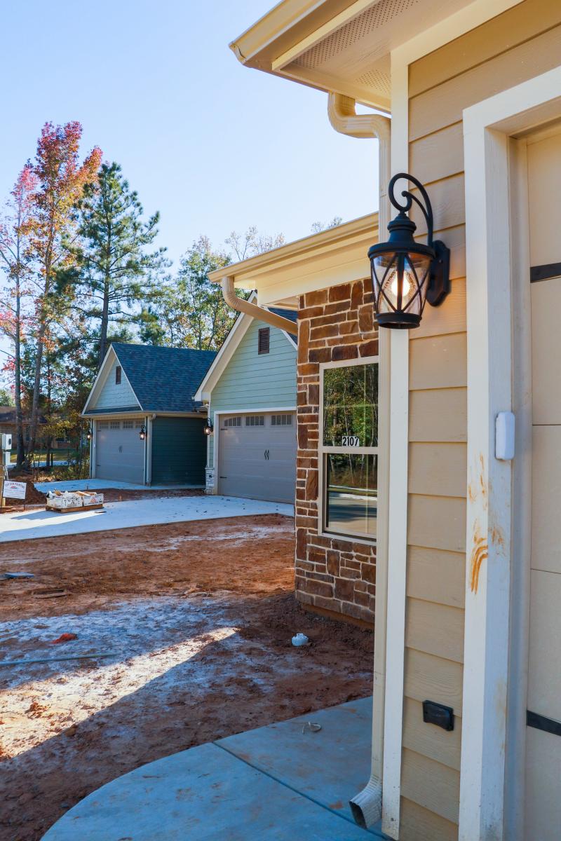
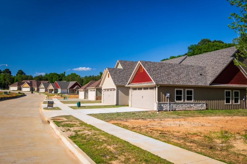
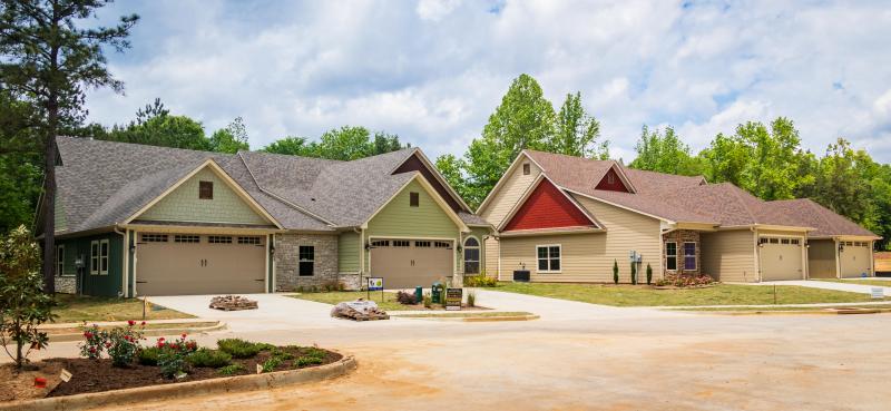
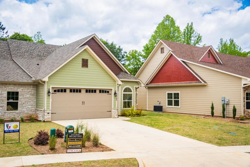
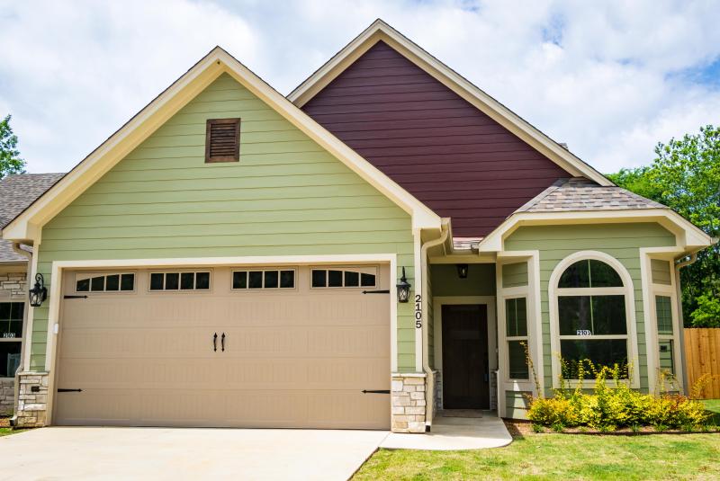
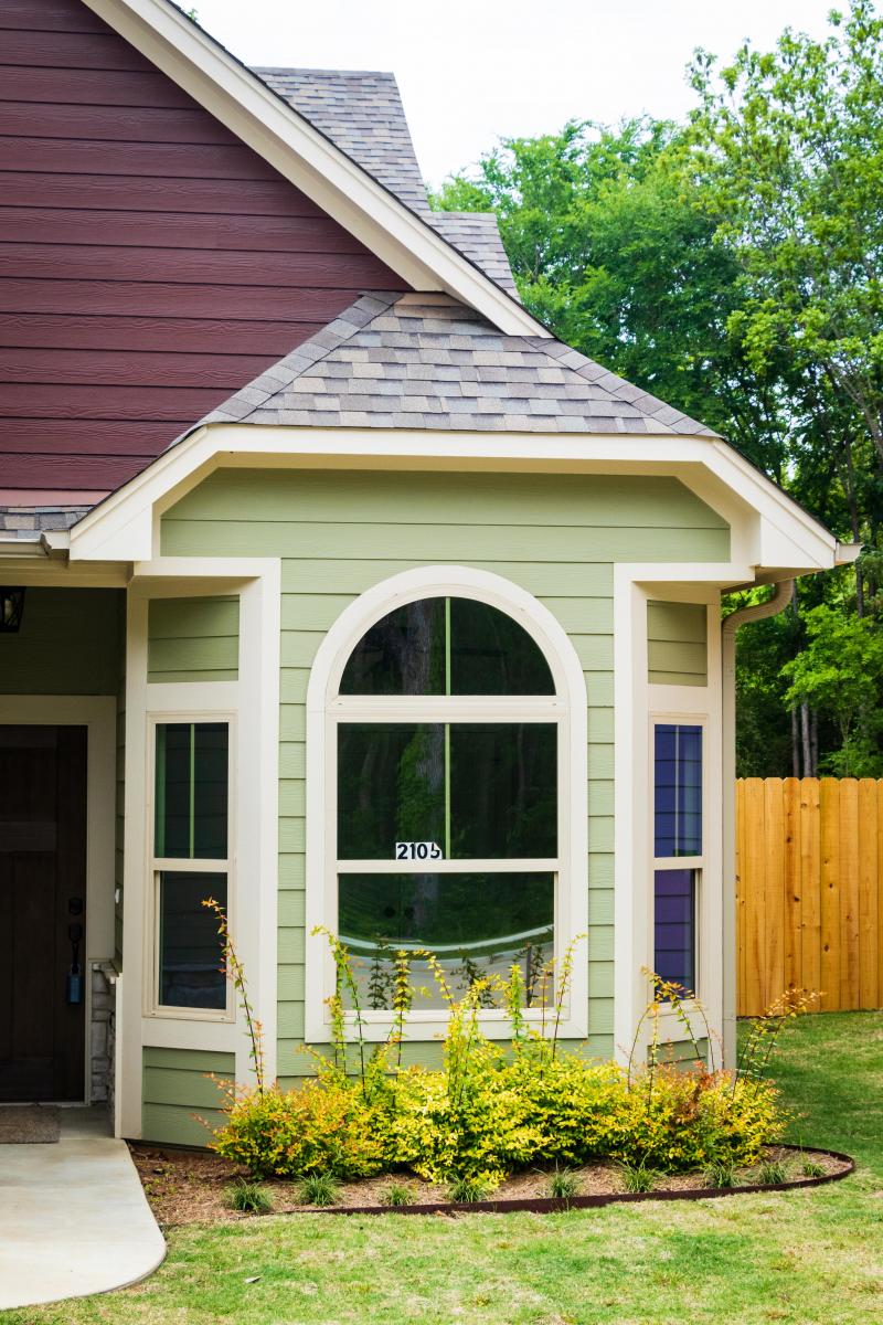
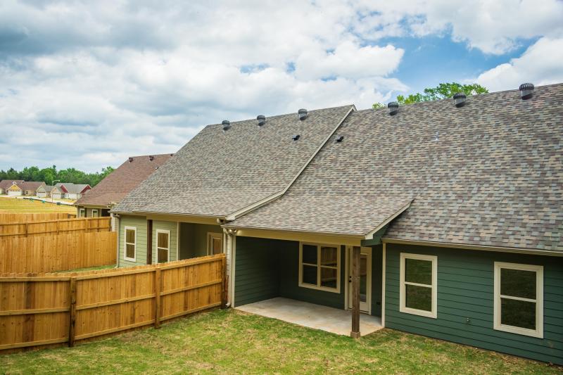
Page Creek Subdivision


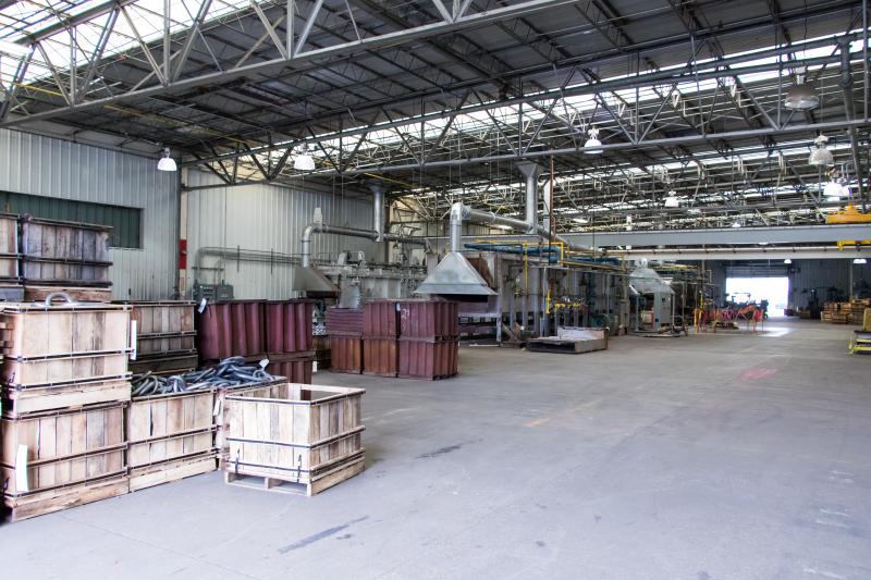
Crosby-Lebus

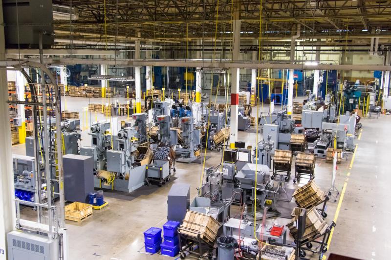
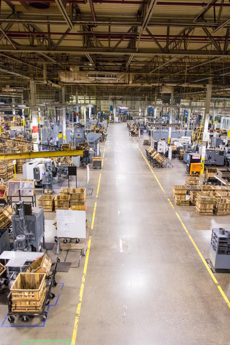
The Crossing at Main